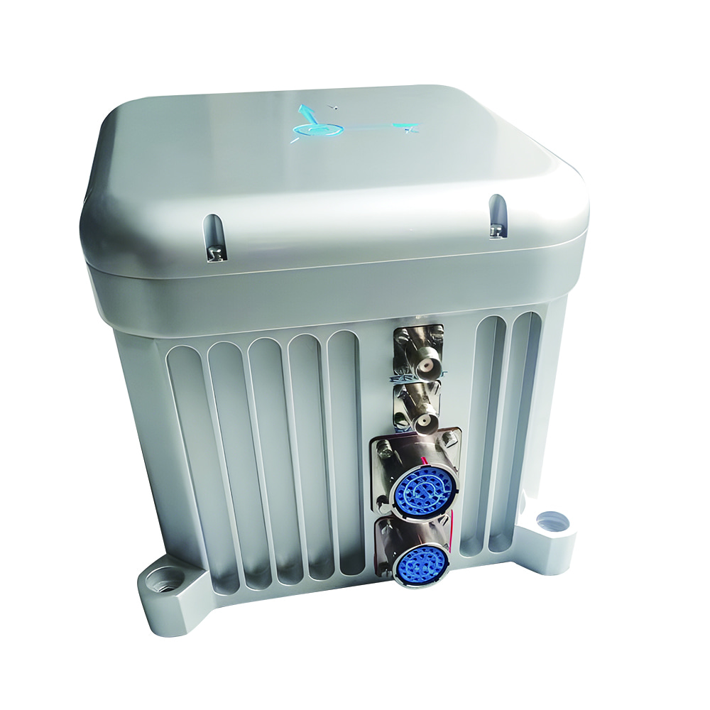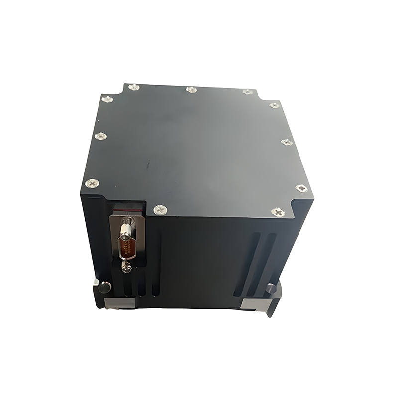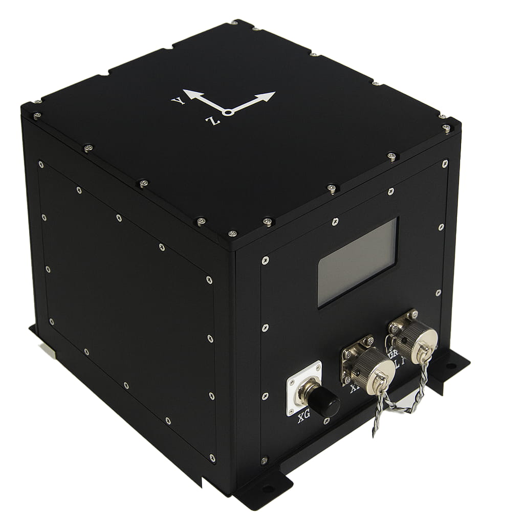
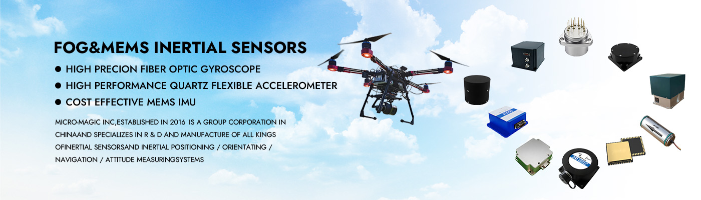
Sistema de navegação inercial M5700 com giroscópio de fibra óptica para levantamentos marítimos
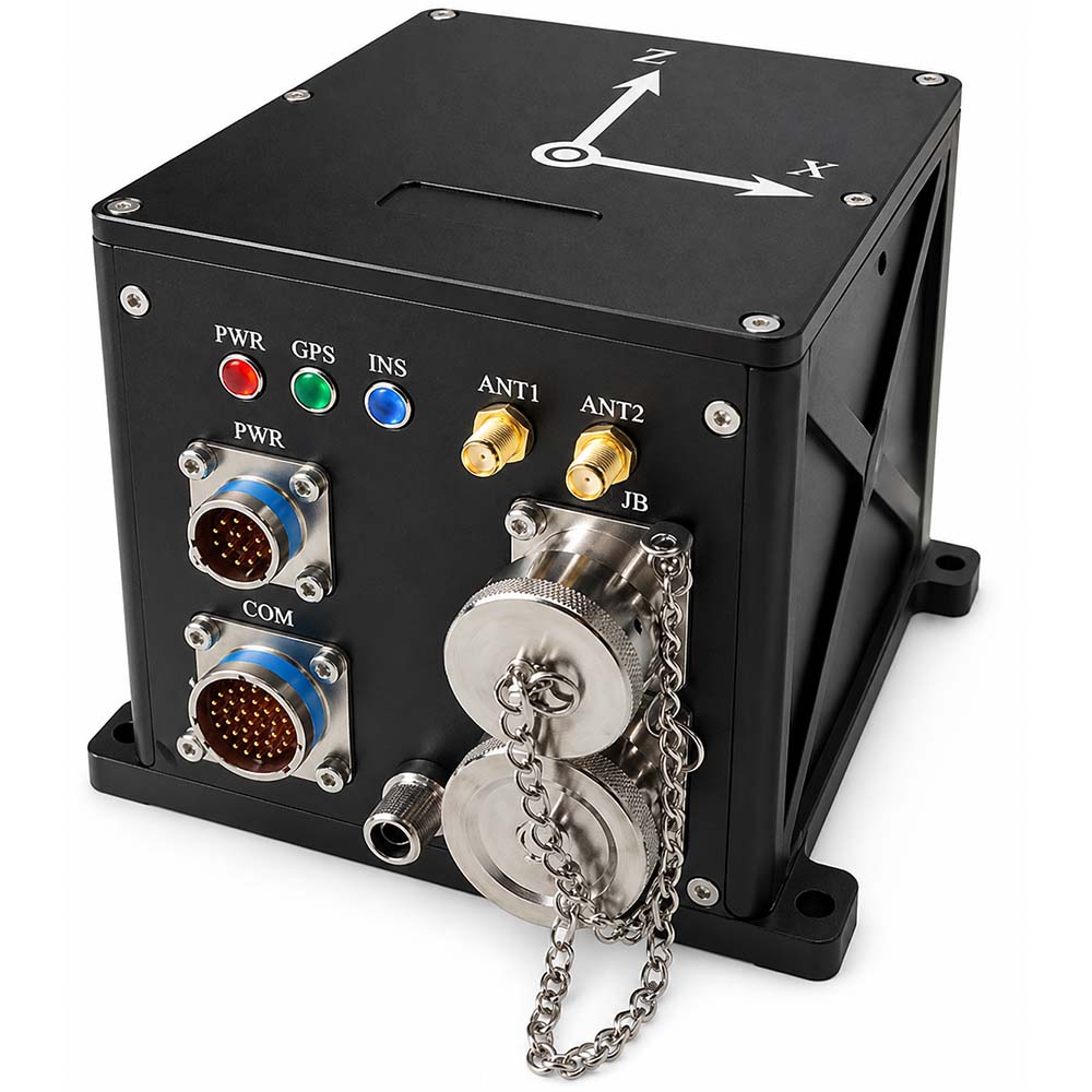
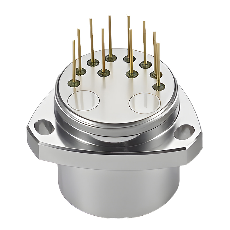
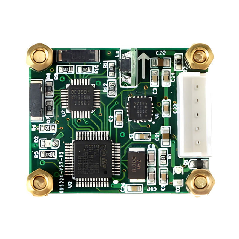
O sistema de navegação inercial por fibra óptica M5700 é composto principalmente por um giroscópio de fibra óptica integrado, um acelerômetro flexível de quartzo, um módulo de alimentação, um módulo de aquisição e cálculo, um módulo de navegação por satélite, etc. Possui características como tamanho reduzido, peso leve e alta precisão, sendo adequado para drones de pequeno e médio porte, plataformas fotovoltaicas, veículos subaquáticos e outras aplicações. As principais características são as seguintes:
Possui alta precisão na busca pelo norte;
Inércia pura, combinação inércia/satélite, combinação inércia/DVL, combinação inércia/quilometragem, combinação inércia/visão, bússola marítima, etc.;
Possui funções como busca automática do norte, alinhamento de transmissão, alinhamento de base móvel assistido por satélite, pós-processamento de alta precisão e medição de oscilação vertical;
Amortecedor embutido, adaptável a ambientes com vibração;
Cartão de memória integrado, capaz de armazenar dados de medição, que podem ser lidos por porta USB ou de rede;
Possui múltiplos protocolos de comunicação integrados, taxa de transmissão da porta serial e protocolo de saída configuráveis.
Possui múltiplas interfaces, como RS422, RS232, Ethernet, entrada/saída PPS, etc.
Temperatura de operação: -45 ℃~+60 ℃
Fonte de alimentação: 12V ~ 36V, consumo de energia < 15W
Número da peça, :
M5700Pedido (MOQ) :
11. Especificações do produto
| Item | Parâmetros técnicos | |
| Precisão da direção | Alinhamento estático: (1σ) "0,08°secφ" (1σ) | |
| Navegação integrada: 0,02° (1σ) | ||
| Retenção por inércia pura: 0,02°/h (1σ) | ||
| Navegação integrada com retenção: 0,01°/h (1σ) | ||
| Precisão de atitude horizontal | Precisão de alinhamento: 0,005° (1σ) | |
| Navegação puramente inercial: 0,02° (RMS) | ||
| Navegação integrada: 0,005° (1σ) | ||
| Precisão de velocidade | 0,02 m/s (RMS, navegação integrada) | |
| 1,5 m/s (RMS, inércia pura em 1 h) | ||
| Precisão de posicionamento | Horizontal ≤ 1,5 m, Altitude ≤ 2,5 m (RMS, posicionamento por satélite de ponto único e navegação integrada, bom sinal); | |
| Horizontal ≤ 1,5 cm + 1 ppm, Altitude ≤ 2,5 cm + 1 ppm (RMS, navegação integrada por satélite RTK, boa conexão) | ||
| 0,3% D (navegação combinada por inércia/quilometragem, onde D é a distância percorrida) | ||
| 0,3% D (navegação integrada inercial/DVL, onde D é a distância percorrida e a precisão do DVL é de 0,3%) | ||
| 2nm (CEP, inércia pura em 1h) | ||
| Precisão de levantamento | 5 cm ou 5% H, o que for maior. | |
| Tempo de alinhamento | < 5 min (alinhamento da base estacionária no solo) | |
| < 10 min (alinhamento hidrostático da base em água) | ||
| < 15 min (alinhamento da base móvel) | ||
| Giroscópio | Faixa de medição | 500°/s |
| Estabilidade de polarização zero | 0,02°/h (média de 10s) | |
| Coeficiente de caminhada aleatória | 0,001°/h1/2 | |
| não linearidade do fator de escala | 10 ppm (1σ) | |
| Aceleração | Faixa de medição | 30g |
| Repetibilidade Mensal do Viés | 20ug (1σ) | |
| Fator de escala Repetibilidade mensal | 20 ppm (1σ) | |
| Temperatura de operação | -45℃~60℃ | |
| Compatibilidade eletromagnética | Atender aos requisitos da norma GJB151B | |
| Interface | Entrada/saída RS422, RS232, USB, Ethernet, PPS | |
| Fonte de energia | 24V CC, adaptável a 12V ~ 36V | |
| Consumo de energia | <15W | |
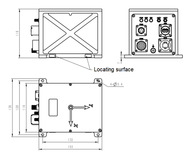
| Dimensões externas | 150×116×116mm (excluindo conectores e orelhas de montagem) | |
| Peso | 2,6 kg | |
| Sem destaque | O módulo de posicionamento por satélite interno ou externo é opcional. | |
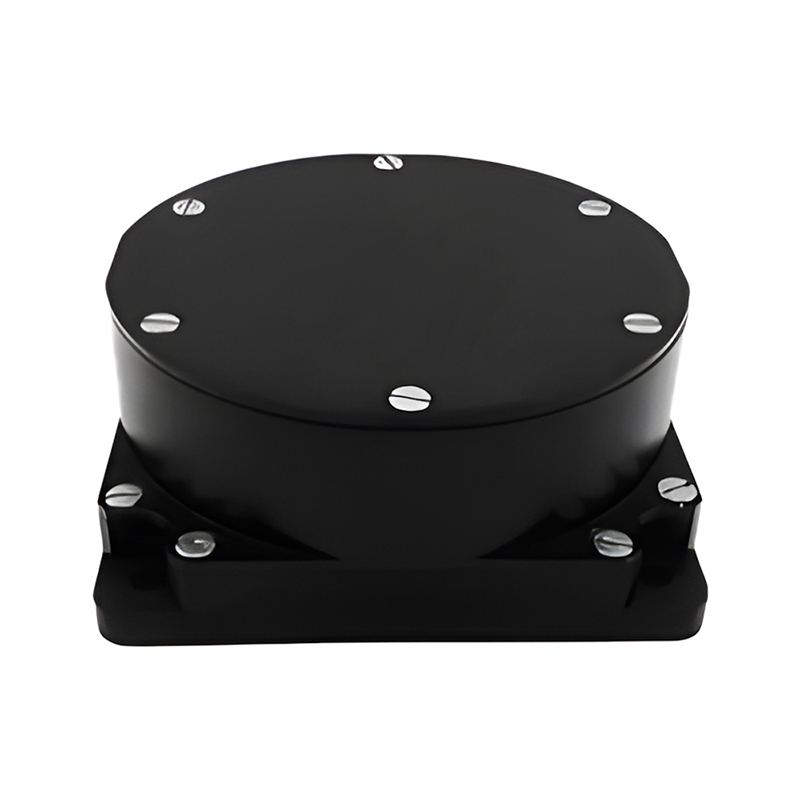
2. Dimensões do produto

Xml política de Privacidade blog Mapa do site
Direitos autorais @ Micro-Magic Inc Todos os direitos reservados.
 REDE SUPORTADA


 Português